 vesseltracker.com
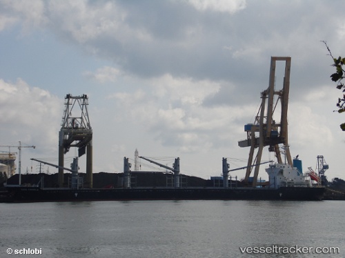
Find the position of the vessel Agia Irini on the map. The latter are known coordinates and path.
marine traffic ship tracker show on live map
The current position of vessel Agia Irini is 28.3337 lat / 122.453 lng. Updated: 2025-08-03 06:24:58 UTCCurrently sailing under the flag of Marshall Islands
Details:
Last coordinates of the vessel:
UTC, 28.3337, 122.453, course: 290, speed: 8.3UTC, 28.3337, 122.453, course: 290, speed: 8.3
UTC, 28.3337, 122.453, course: 290, speed: 8.3
UTC, 28.3337, 122.453, course: 290, speed: 8.3
UTC, 28.3337, 122.453, course: 290, speed: 8.3
2025-08-03 06:24:58 UTC, 28.3337, 122.453, course: 290, speed: 8.3