 vesseltracker.com
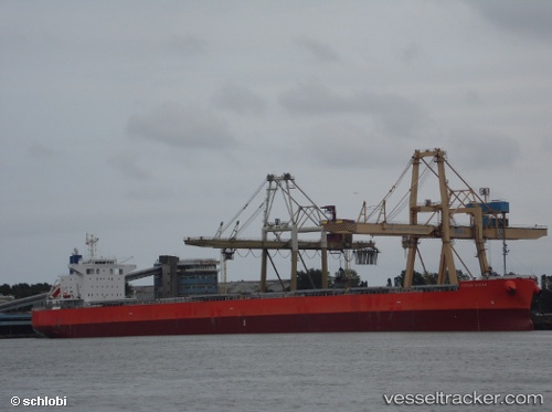
Vessel Cetus Ocean IMO: 9643154, MMSI: 374366000 Bulk Carrier
UTC, -3.93542, 146.62593, course: 157, speed: 15.2
UTC, -4.07601, 146.69582, course: 158, speed: 15
2026-01-16 11:36:09 UTC, -4.51132, 146.90227, course: 159, speed: 14.4
Live AIS position:
UTC. 56 nm E of Karkar Is),
updated 2026-01-16 11:36:09 UTC.
Find the position of the vessel Cetus Ocean on the map. The latter are known coordinates and path.
marine traffic ship tracker show on live map
The current position of vessel Cetus Ocean is -4.51132 lat / 146.90227 lng. Updated: 2026-01-16 11:36:09 UTCCurrently sailing under the flag of Panama
Cetus Ocean built in 2013 year
Deadweight:
82986 tDetails:
Last coordinates of the vessel:
UTC, -3.70742, 146.51227, course: 157, speed: 15UTC, -3.93542, 146.62593, course: 157, speed: 15.2
UTC, -4.07601, 146.69582, course: 158, speed: 15
2026-01-16 11:36:09 UTC, -4.51132, 146.90227, course: 159, speed: 14.4