 vesseltracker.com
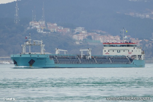
Find the position of the vessel PETROBULK 1 on the map. The latter are known coordinates and path.
marine traffic ship tracker show on live map
The current position of vessel PETROBULK 1 is 40.77730 lat / 29.59860 lng. Updated: 2025-10-25 22:47:33 UTCCurrently sailing under the flag of St.Kitts and Nevis
PETROBULK 1 built in 2014 year
Deadweight:
7721 tDetails:
Last coordinates of the vessel:
UTC, 40.77730, 29.59859, course: 59, speed: 0UTC, 40.77731, 29.59859, course: 59, speed: 0
UTC, 40.77732, 29.59860, course: 59, speed: 0
2025-10-25 22:47:33 UTC, 40.77730, 29.59860, course: 59, speed: 0