 vesseltracker.com
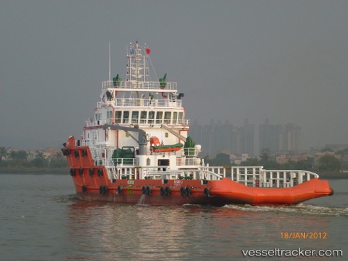
Vessel Rawabi 2 IMO: 9644885, MMSI: 572375210 Offshore Tug Supply Ship
UTC, 28.39667, 49.18833, course: -1, speed: 0
UTC, 28.39667, 49.18833, course: -1, speed: 0
2026-01-17 12:48:51 UTC, 28.39740, 49.18863, course: 354, speed: 0.1
Live AIS position:
UTC. 29 nm NE of Bandar Al Mishab),
updated 2026-01-17 12:48:51 UTC.
Find the position of the vessel Rawabi 2 on the map. The latter are known coordinates and path.
marine traffic ship tracker show on live map
The current position of vessel Rawabi 2 is 28.39740 lat / 49.18863 lng. Updated: 2026-01-17 12:48:51 UTCDetails:
Last coordinates of the vessel:
UTC, 28.39667, 49.18667, course: -1, speed: 0UTC, 28.39667, 49.18833, course: -1, speed: 0
UTC, 28.39667, 49.18833, course: -1, speed: 0
2026-01-17 12:48:51 UTC, 28.39740, 49.18863, course: 354, speed: 0.1