 vesseltracker.com
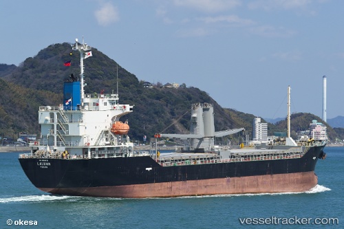
Vessel Laluan IMO: 9654476, MMSI: 371877000 General Cargo Ship
UTC, 34.15995, 130.80675, course: 144, speed: 12.6
UTC, 34.04424, 130.84550, course: 172, speed: 11.6
2026-01-15 23:30:00 UTC, 33.90725, 130.92458, course: 42, speed: 7.9
Live AIS position:
UTC. Near Kanmon),
updated 2026-01-15 23:30:00 UTC.
Find the position of the vessel Laluan on the map. The latter are known coordinates and path.
marine traffic ship tracker show on live map
The current position of vessel Laluan is 33.90725 lat / 130.92458 lng. Updated: 2026-01-15 23:30:00 UTCDetails:
Last coordinates of the vessel:
UTC, 34.56462, 130.47534, course: 142, speed: 12.7UTC, 34.15995, 130.80675, course: 144, speed: 12.6
UTC, 34.04424, 130.84550, course: 172, speed: 11.6
2026-01-15 23:30:00 UTC, 33.90725, 130.92458, course: 42, speed: 7.9