 vesseltracker.com
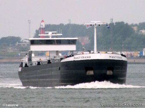
Find the position of the vessel Mantyrano on the map. The latter are known coordinates and path.
marine traffic ship tracker show on live map
The current position of vessel Mantyrano is 51.9592 lat / 4.01325 lng. Updated: 2024-06-17 05:40:37 UTCCurrently sailing under the flag of Belgium
Payload_mass:
4250 tonneGross tonnage:
2250Service entry:
2013-01-01T00:00:00ZDetails:
Last coordinates of the vessel:
UTC, 51.959, 4.03409, course: -1, speed: 0UTC, 51.9587, 4.03443, course: -1, speed: 0.9
UTC, 51.9592, 4.01326, course: -1, speed: 0
2024-06-17 05:40:37 UTC, 51.9592, 4.01325, course: -1, speed: 0