 vesseltracker.com
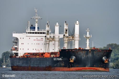
Find the position of the vessel PUERTO ROSARIO on the map. The latter are known coordinates and path.
marine traffic ship tracker show on live map
The current position of vessel PUERTO ROSARIO is 21.3463 lat / -109.106 lng. Updated: 2025-07-06 04:46:33 UTCCurrently sailing under the flag of Panama
PUERTO ROSARIO built in 2014 year
Deadweight:
64689 tDetails:
Last coordinates of the vessel:
UTC, 21.6872, -109.589, course: 124, speed: 12.9UTC, 21.6088, -109.471, course: 128, speed: 12.9
UTC, 21.4041, -109.185, course: 132, speed: 13.2
2025-07-06 04:46:33 UTC, 21.3463, -109.106, course: 133, speed: 13.1
The ship also appears on the maps: