 vesseltracker.com
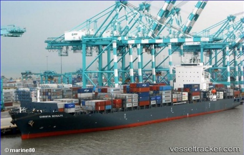
Find the position of the vessel Christa Schulte on the map. The latter are known coordinates and path.
marine traffic ship tracker show on live map
The current position of vessel Christa Schulte is 2.1636233333333 lat / 138.93377833333 lng. Updated: 2025-10-14 19:24:37 UTCDetails:
Last coordinates of the vessel:
UTC, 2.671135, 138.37162666667, course: 132, speed: 16.7UTC, 2.3797466666667, 138.697185, course: 133, speed: 16.6
UTC, 2.25916, 138.82718833333, course: 131, speed: 16
2025-10-14 19:24:37 UTC, 2.1636233333333, 138.93377833333, course: 131, speed: 16