 vesseltracker.com
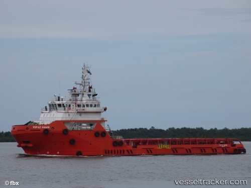
Find the position of the vessel TOPAZ AMANI on the map. The latter are known coordinates and path.
marine traffic ship tracker show on live map
The current position of vessel TOPAZ AMANI is -12.966666666667 lat / 40.488333333333 lng. Updated: 2025-11-03 08:36:29 UTCCurrently sailing under the flag of Marshall Islands
TOPAZ AMANI built in 2013 year
Deadweight:
3130 tDetails:
Last coordinates of the vessel:
UTC, -12.966666666667, 40.488333333333, course: -1, speed: 0UTC, -12.966666666667, 40.488333333333, course: -1, speed: 0
UTC, -12.966666666667, 40.488333333333, course: -1, speed: 0
2025-11-03 08:36:29 UTC, -12.966666666667, 40.488333333333, course: -1, speed: 0