 vesseltracker.com
Live AIS position:
16.93464° N, 82.53173° E UTC. 12 nm E of Kakinada),
updated 2025-11-19 19:33:31 UTC.
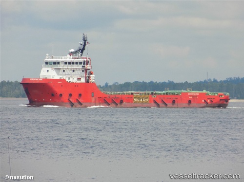
Find the position of the vessel Executive Tide on the map. The latter are known coordinates and path.
marine traffic ship tracker show on live map
The current position of vessel Executive Tide is 16.93464 lat / 82.53173 lng. Updated: 2025-11-19 19:33:31 UTCCurrently sailing under the flag of Malaysia
Details:
Last coordinates of the vessel:
UTC, 16.98070, 82.28014, course: 100, speed: 0UTC, 17.00120, 82.33483, course: 56, speed: 8.3
UTC, 17.02039, 82.39377, course: 119, speed: 9.7
2025-11-19 19:33:31 UTC, 16.93464, 82.53173, course: 115, speed: 9.6