 vesseltracker.com
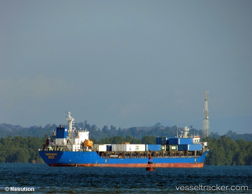
Find the position of the vessel Tanto Manis on the map. The latter are known coordinates and path.
marine traffic ship tracker show on live map
The current position of vessel Tanto Manis is 0.89666666666667 lat / 98.838333333333 lng. Updated: 2025-11-05 07:50:30 UTCCurrently sailing under the flag of Indonesia
Details:
Last coordinates of the vessel:
UTC, 0.70333333333333, 98.885, course: -1, speed: 7UTC, 0.70333333333333, 98.885, course: -1, speed: 7
UTC, 0.89666666666667, 98.838333333333, course: -1, speed: 7
2025-11-05 07:50:30 UTC, 0.89666666666667, 98.838333333333, course: -1, speed: 7