 vesseltracker.com
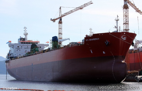
Vessel Sti Gramercy IMO: 9686766, MMSI: 538005178 Chemical Oil Products Tanker
UTC, 4.50261, 141.05685, course: 322, speed: 13.2
UTC, 4.73113, 140.90453, course: 324, speed: 12.9
2026-01-16 17:22:31 UTC, 4.76023, 140.88525, course: 324, speed: 12.7
Live AIS position:
UTC. 175 nm SW of Eauripik Atoll),
updated 2026-01-16 17:22:31 UTC.
Find the position of the vessel Sti Gramercy on the map. The latter are known coordinates and path.
marine traffic ship tracker show on live map
The current position of vessel Sti Gramercy is 4.76023 lat / 140.88525 lng. Updated: 2026-01-16 17:22:31 UTCDetails:
Last coordinates of the vessel:
UTC, 4.28165, 141.20348, course: 325, speed: 13.1UTC, 4.50261, 141.05685, course: 322, speed: 13.2
UTC, 4.73113, 140.90453, course: 324, speed: 12.9
2026-01-16 17:22:31 UTC, 4.76023, 140.88525, course: 324, speed: 12.7