 vesseltracker.com
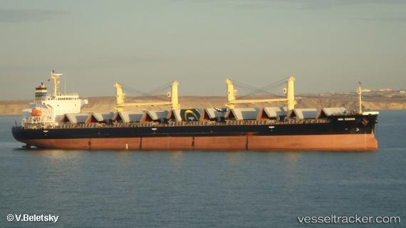
Vessel Hai Chang IMO: 9687198, MMSI: 477694900 Bulk Carrier
UTC, 2.02797, 119.25414, course: 191, speed: 11.9
UTC, 2.02797, 119.25414, course: 191, speed: 11.9
2026-01-18 23:55:30 UTC, 2.02797, 119.25414, course: 191, speed: 11.9
Live AIS position:
UTC. 67 nm E of Muara Pantai),
updated 2026-01-18 23:55:30 UTC.
Find the position of the vessel Hai Chang on the map. The latter are known coordinates and path.
marine traffic ship tracker show on live map
The current position of vessel Hai Chang is 2.02797 lat / 119.25414 lng. Updated: 2026-01-18 23:55:30 UTCDetails:
Last coordinates of the vessel:
UTC, 2.02797, 119.25414, course: 191, speed: 11.9UTC, 2.02797, 119.25414, course: 191, speed: 11.9
UTC, 2.02797, 119.25414, course: 191, speed: 11.9
2026-01-18 23:55:30 UTC, 2.02797, 119.25414, course: 191, speed: 11.9