 vesseltracker.com
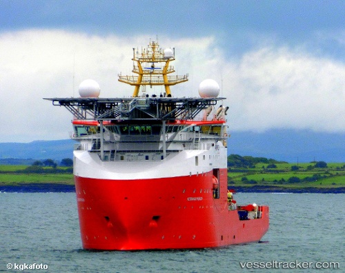
Find the position of the vessel Normand Reach on the map. The latter are known coordinates and path.
marine traffic ship tracker show on live map
The current position of vessel Normand Reach is 67.0276 lat / 5.3084 lng. Updated: 2025-07-25 14:13:15 UTCDetails:
Last coordinates of the vessel:
UTC, 67.0276, 5.30839, course: 101, speed: 0.2UTC, 67.0276, 5.30837, course: 100, speed: 0.1
UTC, 67.0276, 5.30839, course: 100, speed: 0
2025-07-25 14:13:15 UTC, 67.0276, 5.3084, course: 100, speed: 0.1