 vesseltracker.com
Live AIS position:
30.41517° S, 14.04368° E UTC. 168 nm W of Koiingnaas),
updated 2025-11-23 04:46:32 UTC.
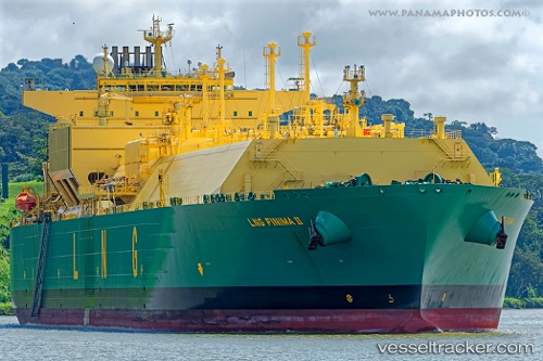
Find the position of the vessel Lng Finima Ii on the map. The latter are known coordinates and path.
marine traffic ship tracker show on live map
The current position of vessel Lng Finima Ii is -30.41517 lat / 14.04368 lng. Updated: 2025-11-23 04:46:32 UTCDetails:
Last coordinates of the vessel:
UTC, -30.86333, 14.27333, course: -1, speed: 11UTC, -30.67664, 14.17221, course: -1, speed: 10.8
UTC, -30.58820, 14.13111, course: -1, speed: 10.9
2025-11-23 04:46:32 UTC, -30.41517, 14.04368, course: -1, speed: 11
The ship also appears on the maps: