 vesseltracker.com
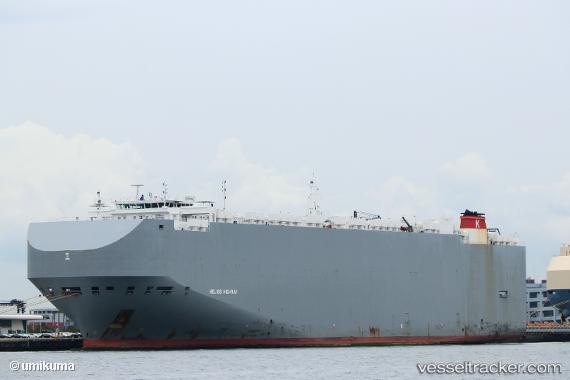
Vessel Helios Highway IMO: 9690547, MMSI: 311000321 Vehicles Carrier
UTC, 22.24678, -178.28508, course: 102, speed: 18.4
UTC, 22.16181, -177.89745, course: 102, speed: 17.9
2026-01-19 00:21:27 UTC, 22.06667, -177.46500, course: -1, speed: 17
Live AIS position:
UTC. 369 nm S of Midway Island),
updated 2026-01-19 00:21:27 UTC.
Find the position of the vessel Helios Highway on the map. The latter are known coordinates and path.
marine traffic ship tracker show on live map
The current position of vessel Helios Highway is 22.06667 lat / -177.46500 lng. Updated: 2026-01-19 00:21:27 UTCDetails:
Last coordinates of the vessel:
UTC, 22.33970, -178.70518, course: 103, speed: 18.5UTC, 22.24678, -178.28508, course: 102, speed: 18.4
UTC, 22.16181, -177.89745, course: 102, speed: 17.9
2026-01-19 00:21:27 UTC, 22.06667, -177.46500, course: -1, speed: 17