 vesseltracker.com
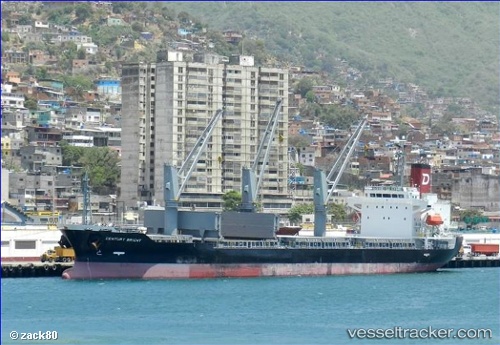
Find the position of the vessel Century Bright on the map. The latter are known coordinates and path.
marine traffic ship tracker show on live map
The current position of vessel Century Bright is 22.49185 lat / -97.57164 lng. Updated: 2025-10-24 06:26:17 UTCDetails:
Last coordinates of the vessel:
UTC, 22.58802, -96.94251, course: 258, speed: 12.9UTC, 22.52825, -97.33831, course: 257, speed: 12.9
UTC, 22.51910, -97.39781, course: 259, speed: 12.8
2025-10-24 06:26:17 UTC, 22.49185, -97.57164, course: 270, speed: 12