 vesseltracker.com
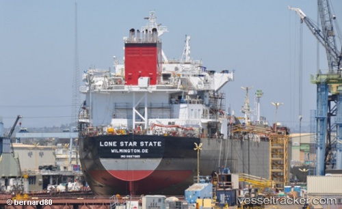
Vessel Lonestar State IMO: 9697985, MMSI: 367633000 Chemical Oil Products Tanker
UTC, 27.58716, -89.04027, course: 90, speed: 14.5
UTC, 27.59877, -88.13402, course: 90, speed: 15.6
2026-01-16 19:45:09 UTC, 27.60112, -87.95086, course: 90, speed: 16
Live AIS position:
UTC. 106 nm SE of Port Eads),
updated 2026-01-16 19:45:09 UTC.
Find the position of the vessel Lonestar State on the map. The latter are known coordinates and path.
marine traffic ship tracker show on live map
The current position of vessel Lonestar State is 27.60112 lat / -87.95086 lng. Updated: 2026-01-16 19:45:09 UTCCurrently sailing under the flag of USA
Details:
Last coordinates of the vessel:
UTC, 27.58716, -89.04027, course: 90, speed: 14.5UTC, 27.58716, -89.04027, course: 90, speed: 14.5
UTC, 27.59877, -88.13402, course: 90, speed: 15.6
2026-01-16 19:45:09 UTC, 27.60112, -87.95086, course: 90, speed: 16