 vesseltracker.com
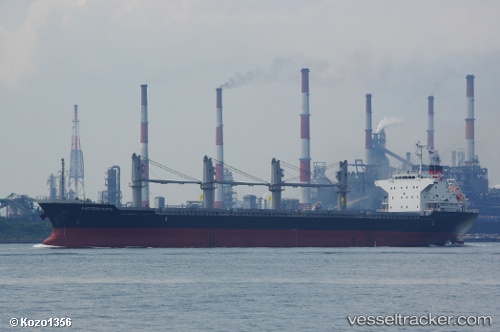
Find the position of the vessel Eastern Hope on the map. The latter are known coordinates and path.
marine traffic ship tracker show on live map
The current position of vessel Eastern Hope is 17.238475 lat / 117.49074166667 lng. Updated: 2025-10-17 19:20:33 UTCDetails:
Last coordinates of the vessel:
UTC, 17.943528333333, 118.17448833333, course: 219, speed: 12.1UTC, 17.533911666667, 117.77087166667, course: 223, speed: 10.9
UTC, 17.533911666667, 117.77087166667, course: 223, speed: 10.9
2025-10-17 19:20:33 UTC, 17.238475, 117.49074166667, course: 222, speed: 10.9