 vesseltracker.com
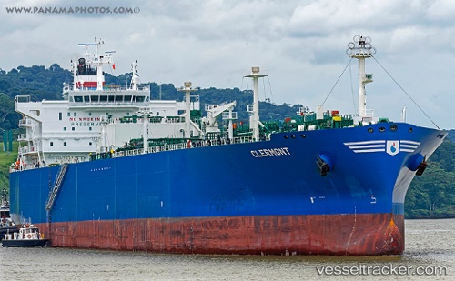
Vessel Clermont IMO: 9706487, MMSI: 311000391 Lpg Tanker
UTC, 23.36833, -87.76667, course: -1, speed: 15
UTC, 23.28167, -87.63167, course: -1, speed: 14
2026-01-17 18:51:32 UTC, 23.11134, -87.39182, course: 130, speed: 14.6
Live AIS position:
UTC. 117 nm N of ISLA MUJERES),
updated 2026-01-17 18:51:32 UTC.
Find the position of the vessel Clermont on the map. The latter are known coordinates and path.
marine traffic ship tracker show on live map
The current position of vessel Clermont is 23.11134 lat / -87.39182 lng. Updated: 2026-01-17 18:51:32 UTCDetails:
Last coordinates of the vessel:
UTC, 23.56833, -88.07167, course: -1, speed: 15UTC, 23.36833, -87.76667, course: -1, speed: 15
UTC, 23.28167, -87.63167, course: -1, speed: 14
2026-01-17 18:51:32 UTC, 23.11134, -87.39182, course: 130, speed: 14.6