 vesseltracker.com
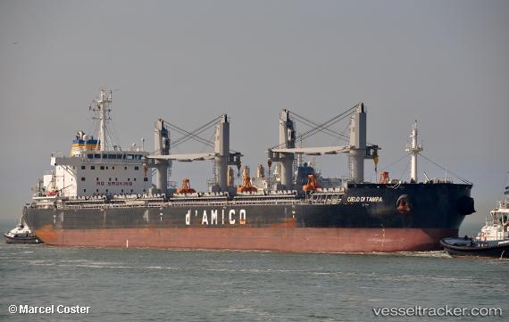
Find the position of the vessel Cielo Di Tampa on the map. The latter are known coordinates and path.
marine traffic ship tracker show on live map
The current position of vessel Cielo Di Tampa is 29.66718 lat / -94.97587 lng. Updated: 2025-01-06 02:42:52 UTCCurrently sailing under the flag of Liberia
Details:
Last coordinates of the vessel:
2025-01-06 02:42:52 UTC, 29.66718, -94.97587, course: 158, speed: 9.7