 vesseltracker.com
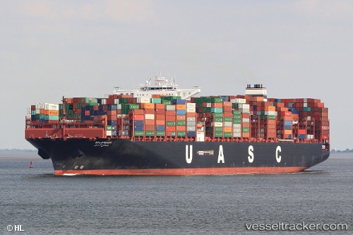
Find the position of the vessel Salahuddin on the map. The latter are known coordinates and path.
marine traffic ship tracker show on live map
The current position of vessel Salahuddin is 35.8202 lat / 15.1947 lng. Updated: 2025-06-25 10:36:38 UTCCurrently sailing under the flag of Marshall Is
Port of registry:
Majuro (capital of the Marshall Islands)Gross tonnage:
153148Service entry:
2015-01-01T00:00:00ZManufacturer:
HD Hyundai Heavy Industries (South Korean shipbuilding manufacturer)
Details:
Last coordinates of the vessel:
UTC, 35.8202, 15.1947, course: 92, speed: 12.7UTC, 35.8202, 15.1947, course: 92, speed: 12.7
UTC, 35.8202, 15.1947, course: 92, speed: 12.7
UTC, 35.8202, 15.1947, course: 92, speed: 12.7
2025-06-25 10:36:38 UTC, 35.8202, 15.1947, course: 92, speed: 12.7