 vesseltracker.com
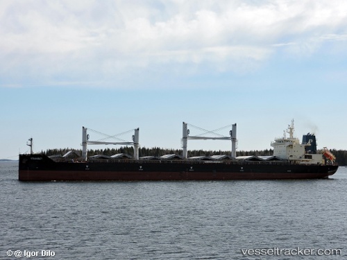
Find the position of the vessel GOLDEN ISLE on the map. The latter are known coordinates and path.
marine traffic ship tracker show on live map
The current position of vessel GOLDEN ISLE is 3.7783333333333 lat / 105.80833333333 lng. Updated: 2025-10-03 19:52:51 UTCCurrently sailing under the flag of Marshall Islands
GOLDEN ISLE built in 2015 year
Deadweight:
38767 tDetails:
Last coordinates of the vessel:
UTC, 4.3716666666667, 106.23333333333, course: -1, speed: 13UTC, 4.1992366666667, 106.092725, course: 215, speed: 12.9
UTC, 4.0295883333333, 105.977285, course: 211, speed: 13.1
2025-10-03 19:52:51 UTC, 3.7783333333333, 105.80833333333, course: -1, speed: 13