 vesseltracker.com
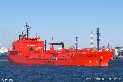
Find the position of the vessel Eco Invictus on the map. The latter are known coordinates and path.
marine traffic ship tracker show on live map
The current position of vessel Eco Invictus is 49.467241666667 lat / 0.54087833333333 lng. Updated: 2025-10-30 21:59:29 UTCCurrently sailing under the flag of Marshall Is
Details:
Last coordinates of the vessel:
UTC, 49.467256666667, 0.54088166666667, course: 324, speed: 0UTC, 49.467261666667, 0.54089166666667, course: 324, speed: 0
UTC, 49.467278333333, 0.54086166666667, course: 323, speed: 0
2025-10-30 21:59:29 UTC, 49.467241666667, 0.54087833333333, course: 324, speed: 0