 vesseltracker.com
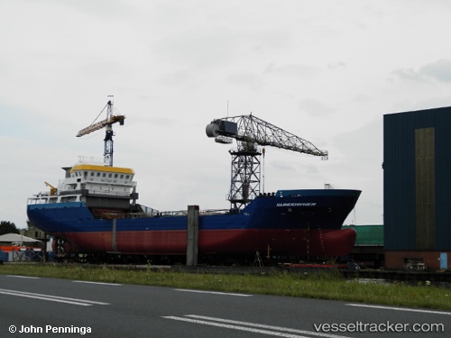
Vessel Sundowner IMO: 9715713, MMSI: 244830182 Lpg Tanker
UTC, 56.04742, -2.46638, course: 122, speed: 11.4
UTC, 55.95309, -2.16660, course: 125, speed: 11.2
2026-01-17 15:27:45 UTC, 55.87185, -1.95914, course: 130, speed: 11
Live AIS position:
UTC. Near Burnmouth),
updated 2026-01-17 15:27:45 UTC.
Find the position of the vessel Sundowner on the map. The latter are known coordinates and path.
marine traffic ship tracker show on live map
The current position of vessel Sundowner is 55.87185 lat / -1.95914 lng. Updated: 2026-01-17 15:27:45 UTCCurrently sailing under the flag of Netherlands
Details:
Last coordinates of the vessel:
UTC, 56.09378, -2.73131, course: 90, speed: 11.2UTC, 56.04742, -2.46638, course: 122, speed: 11.4
UTC, 55.95309, -2.16660, course: 125, speed: 11.2
2026-01-17 15:27:45 UTC, 55.87185, -1.95914, course: 130, speed: 11