 vesseltracker.com
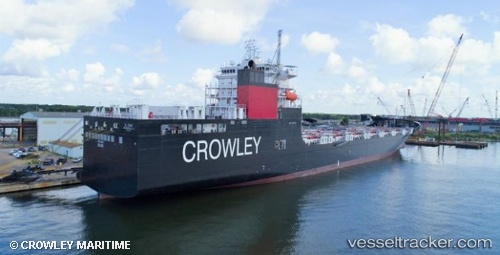
Vessel El Coqui IMO: 9721968, MMSI: 367781630 Container Ship
UTC, 30.36082, -81.23784, course: 100, speed: 9.6
UTC, 30.34195, -81.12954, course: 100, speed: 9.5
2026-01-17 03:00:32 UTC, 30.29136, -80.87142, course: 108, speed: 9.6
Live AIS position:
UTC. 26 nm E of Ponte Vedra),
updated 2026-01-17 03:00:32 UTC.
Find the position of the vessel El Coqui on the map. The latter are known coordinates and path.
marine traffic ship tracker show on live map
The current position of vessel El Coqui is 30.29136 lat / -80.87142 lng. Updated: 2026-01-17 03:00:32 UTCCurrently sailing under the flag of USA
Details:
Last coordinates of the vessel:
UTC, 30.39091, -81.51790, course: 80, speed: 8.4UTC, 30.36082, -81.23784, course: 100, speed: 9.6
UTC, 30.34195, -81.12954, course: 100, speed: 9.5
2026-01-17 03:00:32 UTC, 30.29136, -80.87142, course: 108, speed: 9.6