 vesseltracker.com
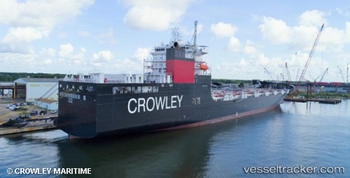
Live AIS position:
20.41531° N, 68.37980° W UTC. 89 nm NE of Bahia De Samana),
updated 2025-11-24 00:31:39 UTC.
Find the position of the vessel El Coqui on the map. The latter are known coordinates and path.
marine traffic ship tracker show on live map
The current position of vessel El Coqui is 20.41531 lat / -68.37980 lng. Updated: 2025-11-24 00:31:39 UTCCurrently sailing under the flag of USA
Details:
Last coordinates of the vessel:
UTC, 20.96131, -69.02170, course: 130, speed: 19.9UTC, 20.71333, -68.73333, course: -1, speed: 20
UTC, 20.50667, -68.49166, course: -1, speed: 20
2025-11-24 00:31:39 UTC, 20.41531, -68.37980, course: 129, speed: 20.1