 vesseltracker.com
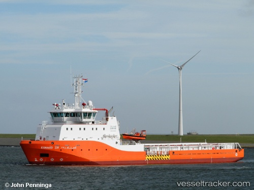
Find the position of the vessel Esnaad 228 on the map. The latter are known coordinates and path.
marine traffic ship tracker show on live map
The current position of vessel Esnaad 228 is 24.33081 lat / 54.45361 lng. Updated: 2025-11-06 08:00:33 UTCCurrently sailing under the flag of UAE
Details:
Last coordinates of the vessel:
UTC, 24.32500, 54.45167, course: -1, speed: 0UTC, 24.33081, 54.45365, course: 17, speed: 0
UTC, 24.33000, 54.45333, course: -1, speed: 0
2025-11-06 08:00:33 UTC, 24.33081, 54.45361, course: 17, speed: 0