 vesseltracker.com
Live AIS position:
17.53007° N, 161.82072° W UTC. 291 nm SW of Port Allen),
updated 2025-11-19 16:17:18 UTC.
Find the position of the vessel Lindanger on the map. The latter are known coordinates and path.
marine traffic ship tracker show on live map
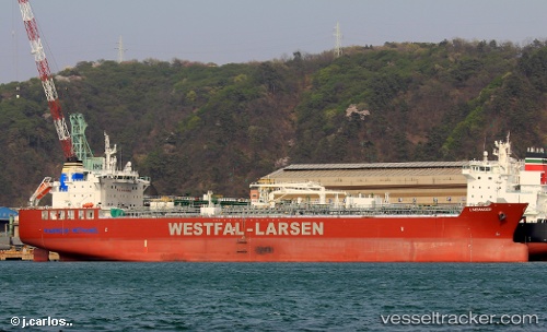
The current position of vessel Lindanger is 17.53007 lat / -161.82072 lng. Updated: 2025-11-19 16:17:18 UTCCurrently sailing under the flag of Norway
Details:
Last coordinates of the vessel:
UTC, 17.41060, -161.52808, course: 293, speed: 11.3UTC, 17.42500, -161.56667, course: -1, speed: 11
UTC, 17.42500, -161.56667, course: -1, speed: 11
2025-11-19 16:17:18 UTC, 17.53007, -161.82072, course: 294, speed: 11.2