 vesseltracker.com
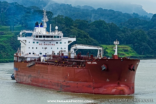
Vessel Mari Jone IMO: 9725316, MMSI: 258733000 Oil Products Tanker
UTC, 35.64500, -40.45500, course: -1, speed: 14
UTC, 35.60108, -40.71962, course: 259, speed: 15
2026-01-17 14:47:16 UTC, 35.53833, -41.08333, course: -1, speed: 14
Live AIS position:
UTC. 84 nm SW of Eureka Springs),
updated 2026-01-17 14:47:16 UTC.
Find the position of the vessel Mari Jone on the map. The latter are known coordinates and path.
marine traffic ship tracker show on live map
The current position of vessel Mari Jone is 35.53833 lat / -41.08333 lng. Updated: 2026-01-17 14:47:16 UTCCurrently sailing under the flag of Norway
Details:
Last coordinates of the vessel:
UTC, 35.67056, -40.30492, course: 257, speed: 14.6UTC, 35.64500, -40.45500, course: -1, speed: 14
UTC, 35.60108, -40.71962, course: 259, speed: 15
2026-01-17 14:47:16 UTC, 35.53833, -41.08333, course: -1, speed: 14