 vesseltracker.com
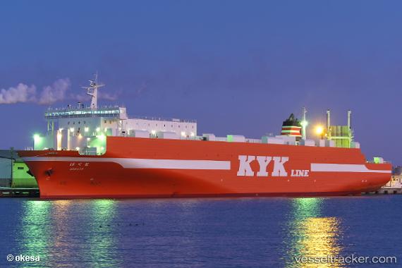
Vessel Hokuto IMO: 9726152, MMSI: 431006942 Ro Ro Cargo Ship
UTC, 40.74957, 139.84399, course: 211, speed: 19.1
UTC, 40.66576, 139.77991, course: 211, speed: 19.2
2026-01-16 18:40:39 UTC, 40.66576, 139.77991, course: 211, speed: 19.2
Live AIS position:
UTC. 30 nm N of NOSHIRO),
updated 2026-01-16 18:40:39 UTC.
Find the position of the vessel Hokuto on the map. The latter are known coordinates and path.
marine traffic ship tracker show on live map
The current position of vessel Hokuto is 40.66576 lat / 139.77991 lng. Updated: 2026-01-16 18:40:39 UTCDetails:
Last coordinates of the vessel:
UTC, 40.85605, 139.92378, course: 211, speed: 20.1UTC, 40.74957, 139.84399, course: 211, speed: 19.1
UTC, 40.66576, 139.77991, course: 211, speed: 19.2
2026-01-16 18:40:39 UTC, 40.66576, 139.77991, course: 211, speed: 19.2