 vesseltracker.com
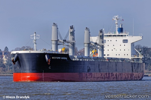
Vessel African Arrow IMO: 9727297, MMSI: 356320000 Bulk Carrier
UTC, 23.15455, 68.44809, course: 245, speed: 0.1
UTC, 23.15399, 68.44826, course: 266, speed: 0.1
2026-01-16 16:34:22 UTC, 23.15363, 68.44822, course: 278, speed: 0.1
Live AIS position:
UTC. 54 nm NW of Okha),
updated 2026-01-16 16:34:22 UTC.
Find the position of the vessel African Arrow on the map. The latter are known coordinates and path.
marine traffic ship tracker show on live map
The current position of vessel African Arrow is 23.15363 lat / 68.44822 lng. Updated: 2026-01-16 16:34:22 UTCDetails:
Last coordinates of the vessel:
UTC, 23.15473, 68.44795, course: 238, speed: 0UTC, 23.15455, 68.44809, course: 245, speed: 0.1
UTC, 23.15399, 68.44826, course: 266, speed: 0.1
2026-01-16 16:34:22 UTC, 23.15363, 68.44822, course: 278, speed: 0.1