 vesseltracker.com
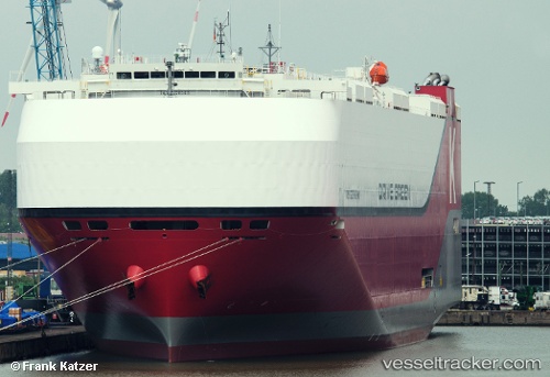
Find the position of the vessel Drive Green Highway on the map. The latter are known coordinates and path.
marine traffic ship tracker show on live map
The current position of vessel Drive Green Highway is 29.52007 lat / 123.83261 lng. Updated: 2025-11-09 18:03:56 UTCDetails:
Last coordinates of the vessel:
UTC, 30.42391, 123.60948, course: 167, speed: 16.6UTC, 30.13154, 123.68038, course: 167, speed: 17
UTC, 29.87287, 123.75024, course: 172, speed: 17.4
2025-11-09 18:03:56 UTC, 29.52007, 123.83261, course: 166, speed: 17.8
The ship also appears on the maps: