 vesseltracker.com
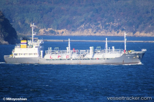
Vessel Houseimaru N018 IMO: 9728265, MMSI: 431006012 Chemical Tanker
UTC, 34.16755, 136.79947, course: 51, speed: 11
UTC, 34.34158, 137.08331, course: 56, speed: 12.3
2026-01-18 00:12:04 UTC, 34.46755, 137.33945, course: 57, speed: 12.3
Live AIS position:
UTC. 16 nm S of TOYOHASHI),
updated 2026-01-18 00:12:04 UTC.
Find the position of the vessel Houseimaru N018 on the map. The latter are known coordinates and path.
marine traffic ship tracker show on live map
The current position of vessel Houseimaru N018 is 34.46755 lat / 137.33945 lng. Updated: 2026-01-18 00:12:04 UTCCurrently sailing under the flag of Japan
Details:
Last coordinates of the vessel:
UTC, 34.15665, 136.78304, course: 51, speed: 10.7UTC, 34.16755, 136.79947, course: 51, speed: 11
UTC, 34.34158, 137.08331, course: 56, speed: 12.3
2026-01-18 00:12:04 UTC, 34.46755, 137.33945, course: 57, speed: 12.3