 vesseltracker.com
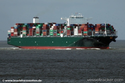
Vessel Triton IMO: 9728916, MMSI: 249515000 Container Ship
UTC, -23.64465, 9.01338, course: 325, speed: 18.7
UTC, -23.58999, 8.96874, course: 325, speed: 18.7
2026-01-17 21:39:16 UTC, -23.32093, 8.74824, course: 326, speed: 18.5
Live AIS position:
UTC. 315 nm W of Henties Bay (Hentiesbaai)),
updated 2026-01-17 21:39:16 UTC.
Find the position of the vessel Triton on the map. The latter are known coordinates and path.
marine traffic ship tracker show on live map
The current position of vessel Triton is -23.32093 lat / 8.74824 lng. Updated: 2026-01-17 21:39:16 UTCCurrently sailing under the flag of Malta
Details:
Last coordinates of the vessel:
UTC, -24.13556, 9.40829, course: 324, speed: 18.9UTC, -23.64465, 9.01338, course: 325, speed: 18.7
UTC, -23.58999, 8.96874, course: 325, speed: 18.7
2026-01-17 21:39:16 UTC, -23.32093, 8.74824, course: 326, speed: 18.5