 vesseltracker.com
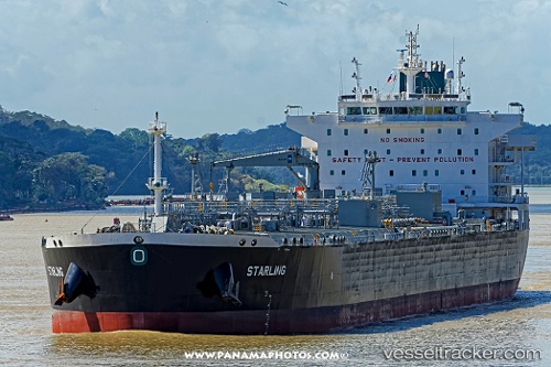
Vessel Starling IMO: 9737527, MMSI: 563445000 Crude Oil Tanker
UTC, 29.10766, -94.52855, course: 219, speed: 0.4
UTC, 29.10304, -94.53030, course: 352, speed: 0.1
2026-01-17 05:22:27 UTC, 29.10308, -94.53049, course: 357, speed: 0
Live AIS position:
UTC. 18 nm SE of Sheppard),
updated 2026-01-17 05:22:27 UTC.
Find the position of the vessel Starling on the map. The latter are known coordinates and path.
marine traffic ship tracker show on live map
The current position of vessel Starling is 29.10308 lat / -94.53049 lng. Updated: 2026-01-17 05:22:27 UTCDetails:
Last coordinates of the vessel:
UTC, 29.10667, -94.52833, course: -1, speed: 0UTC, 29.10766, -94.52855, course: 219, speed: 0.4
UTC, 29.10304, -94.53030, course: 352, speed: 0.1
2026-01-17 05:22:27 UTC, 29.10308, -94.53049, course: 357, speed: 0