 vesseltracker.com
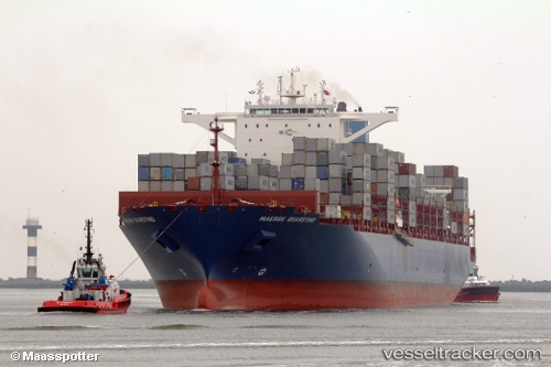
Find the position of the vessel Maersk Skarstind on the map. The latter are known coordinates and path.
marine traffic ship tracker show on live map
The current position of vessel Maersk Skarstind is 20.2641 lat / 114.256 lng. Updated: 2025-03-13 18:14:54 UTCCurrently sailing under the flag of Liberia
Port of registry:
Monrovia (capital city of Liberia)Gross tonnage:
93702Service entry:
2016-01-01T00:00:00ZManufacturer:
HD Hyundai Samho (Korean shipbuilding company)Details:
Last coordinates of the vessel:
UTC, 20.8637, 114.3, course: 177, speed: 10.1UTC, 20.5905, 114.285, course: 184, speed: 10.3
UTC, 20.4878, 114.275, course: 183, speed: 10.3
2025-03-13 18:14:54 UTC, 20.2641, 114.256, course: 182, speed: 11.2