 vesseltracker.com
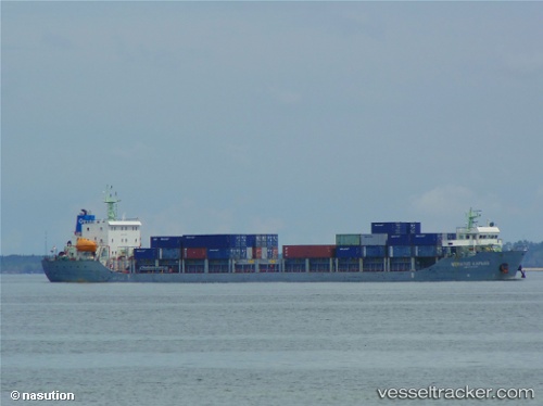
Vessel Meratus Kapuas IMO: 9741190, MMSI: 525025098 Container Ship
UTC, -7.20667, 112.72500, course: -1, speed: 0
UTC, -7.20821, 112.72648, course: 196, speed: 0
2026-01-17 16:01:49 UTC, -7.20820, 112.72651, course: 197, speed: 0
Live AIS position:
UTC. Near Tanjung Perak),
updated 2026-01-17 16:01:49 UTC.
Find the position of the vessel Meratus Kapuas on the map. The latter are known coordinates and path.
marine traffic ship tracker show on live map
The current position of vessel Meratus Kapuas is -7.20820 lat / 112.72651 lng. Updated: 2026-01-17 16:01:49 UTCCurrently sailing under the flag of Indonesia
Details:
Last coordinates of the vessel:
UTC, -7.20821, 112.72643, course: 188, speed: 0UTC, -7.20667, 112.72500, course: -1, speed: 0
UTC, -7.20821, 112.72648, course: 196, speed: 0
2026-01-17 16:01:49 UTC, -7.20820, 112.72651, course: 197, speed: 0