 vesseltracker.com
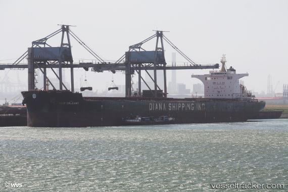
Vessel New Orleans IMO: 9743265, MMSI: 538006242 Bulk Carrier
UTC, -27.14347, 44.54012, course: 60, speed: 10
UTC, -27.03064, 44.80164, course: 58, speed: 10.8
2026-01-18 16:39:59 UTC, -26.99000, 44.88333, course: -1, speed: 10
Live AIS position:
UTC. 106 nm S of Tsiombe),
updated 2026-01-18 16:39:59 UTC.
Find the position of the vessel New Orleans on the map. The latter are known coordinates and path.
marine traffic ship tracker show on live map
The current position of vessel New Orleans is -26.99000 lat / 44.88333 lng. Updated: 2026-01-18 16:39:59 UTCCurrently sailing under the flag of Marshall Is
Details:
Last coordinates of the vessel:
UTC, -27.22361, 44.36016, course: 60, speed: 10.1UTC, -27.14347, 44.54012, course: 60, speed: 10
UTC, -27.03064, 44.80164, course: 58, speed: 10.8
2026-01-18 16:39:59 UTC, -26.99000, 44.88333, course: -1, speed: 10