 vesseltracker.com
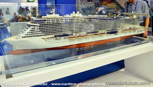
Vessel Msc Seaside IMO: 9745366, MMSI: 248392000 Cruise Ship
UTC, 25.81477, -79.55695, course: 193, speed: 14
UTC, 25.54500, -79.49833, course: -1, speed: 15
2026-01-18 12:11:06 UTC, 25.41667, -79.20500, course: -1, speed: 0
Live AIS position:
UTC. 54 nm E of Fisher Island, Miami),
updated 2026-01-18 12:11:06 UTC.
Find the position of the vessel Msc Seaside on the map. The latter are known coordinates and path.
marine traffic ship tracker show on live map
The current position of vessel Msc Seaside is 25.41667 lat / -79.20500 lng. Updated: 2026-01-18 12:11:06 UTCCurrently sailing under the flag of Malta
Details:
Last coordinates of the vessel:
UTC, 26.07504, -79.39269, course: 207, speed: 15.3UTC, 25.81477, -79.55695, course: 193, speed: 14
UTC, 25.54500, -79.49833, course: -1, speed: 15
2026-01-18 12:11:06 UTC, 25.41667, -79.20500, course: -1, speed: 0