 vesseltracker.com
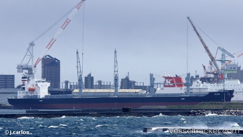
Find the position of the vessel PUMA on the map. The latter are known coordinates and path.
marine traffic ship tracker show on live map
The current position of vessel PUMA is -34.73856 lat / -57.68918 lng. Updated: 2025-10-20 19:18:57 UTCCurrently sailing under the flag of Cayman Islands
PUMA built in 2017 year
Deadweight:
34979 tDetails:
Last coordinates of the vessel:
UTC, -34.74409, -57.82027, course: 306, speed: 0UTC, -34.74404, -57.82026, course: 306, speed: 0
UTC, -34.74401, -57.82039, course: 307, speed: 0.1
2025-10-20 19:18:57 UTC, -34.73856, -57.68918, course: 100, speed: 11.5
The ship also appears on the maps: