 vesseltracker.com
Find the position of the vessel Glovis Stella on the map. The latter are known coordinates and path.
marine traffic ship tracker show on live map
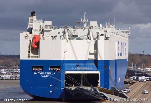
The current position of vessel Glovis Stella is 1.2639199495315552 lat / 103.42919158935547 lng. Updated: 2024-12-05 04:07:47 UTCCurrently sailing under the flag of Marshall Is
Details:
Last coordinates of the vessel:
2024-12-05 04:07:47 UTC, 1.2639199495315552, 103.42919158935547, course: 9, speed: 2.8