 vesseltracker.com
Live AIS position:
31.92615° N, 120.22621° E UTC. Near Chengxi),
updated 2025-11-19 22:12:24 UTC.
Find the position of the vessel El Matador on the map. The latter are known coordinates and path.
marine traffic ship tracker show on live map
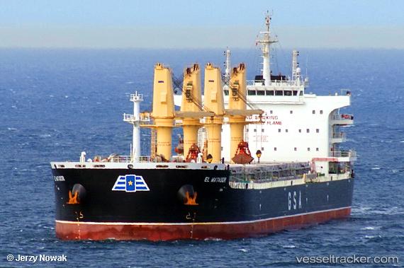
The current position of vessel El Matador is 31.92615 lat / 120.22621 lng. Updated: 2025-11-19 22:12:24 UTCCurrently sailing under the flag of Cyprus
Details:
Last coordinates of the vessel:
UTC, 31.92615, 120.22621, course: -1, speed: 0UTC, 31.92615, 120.22621, course: -1, speed: 0
UTC, 31.92615, 120.22621, course: -1, speed: 0
2025-11-19 22:12:24 UTC, 31.92615, 120.22621, course: -1, speed: 0