 vesseltracker.com
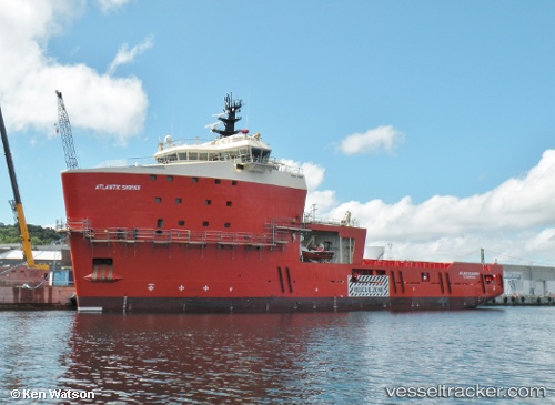
Vessel Atlantic Shrike IMO: 9750610, MMSI: 316004890 Offshore Tug Supply Ship
UTC, 47.56601, -52.70272, course: 227, speed: 0.1
UTC, 47.56599, -52.70268, course: 227, speed: 0
2026-01-17 13:42:51 UTC, 47.56602, -52.70269, course: 227, speed: 0.1
Live AIS position:
UTC. Near St. John’S),
updated 2026-01-17 13:42:51 UTC.
Find the position of the vessel Atlantic Shrike on the map. The latter are known coordinates and path.
marine traffic ship tracker show on live map
The current position of vessel Atlantic Shrike is 47.56602 lat / -52.70269 lng. Updated: 2026-01-17 13:42:51 UTCDetails:
Last coordinates of the vessel:
UTC, 47.56600, -52.70269, course: 227, speed: 0UTC, 47.56601, -52.70272, course: 227, speed: 0.1
UTC, 47.56599, -52.70268, course: 227, speed: 0
2026-01-17 13:42:51 UTC, 47.56602, -52.70269, course: 227, speed: 0.1