 vesseltracker.com
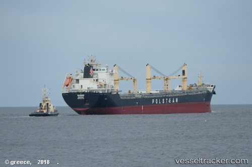
Vessel Gardno IMO: 9767704, MMSI: 311000556 General Cargo Ship
UTC, 47.66667, -6.81167, course: -1, speed: 9
UTC, 47.50333, -6.96500, course: -1, speed: 9
2026-01-17 03:31:35 UTC, 47.47667, -6.99333, course: -1, speed: 10
Live AIS position:
UTC. 61 nm S of San Clodio),
updated 2026-01-17 03:31:35 UTC.
Find the position of the vessel Gardno on the map. The latter are known coordinates and path.
marine traffic ship tracker show on live map
The current position of vessel Gardno is 47.47667 lat / -6.99333 lng. Updated: 2026-01-17 03:31:35 UTCDetails:
Last coordinates of the vessel:
UTC, 48.01833, -6.52167, course: -1, speed: 9UTC, 47.66667, -6.81167, course: -1, speed: 9
UTC, 47.50333, -6.96500, course: -1, speed: 9
2026-01-17 03:31:35 UTC, 47.47667, -6.99333, course: -1, speed: 10