 vesseltracker.com
Find the position of the vessel Myrina on the map. The latter are known coordinates and path.
marine traffic ship tracker show on live map
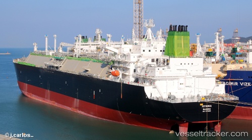
The current position of vessel Myrina is 20.45055 lat / -84.10524 lng. Updated: 2025-10-22 13:03:45 UTCCurrently sailing under the flag of Bahamas
Details:
Last coordinates of the vessel:
UTC, 20.04331, -83.58259, course: 311, speed: 18.7UTC, 20.26654, -83.86889, course: 311, speed: 18.6
UTC, 20.40242, -84.04425, course: 311, speed: 18.7
2025-10-22 13:03:45 UTC, 20.45055, -84.10524, course: 312, speed: 18.8
The ship also appears on the maps: