 vesseltracker.com
Find the position of the vessel Ryman on the map. The latter are known coordinates and path.
marine traffic ship tracker show on live map
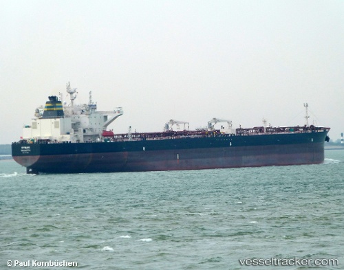
The current position of vessel Ryman is 36.2322 lat / 22.6728 lng. Updated: 2025-07-03 11:19:52 UTCCurrently sailing under the flag of Malta
Port of registry:
Valletta (capital of Malta)Payload_mass:
112870 tonneGross tonnage:
61468Service entry:
2017-01-01T00:00:00ZManufacturer:
Samsung Heavy Industries (South Korean shipbuilding company)Details:
Last coordinates of the vessel:
UTC, 36.216, 22.5604, course: 340, speed: 1.3UTC, 36.2237, 22.5423, course: 339, speed: 0.9
UTC, 36.2323, 22.6541, course: 82, speed: 5.3
2025-07-03 11:19:52 UTC, 36.2322, 22.6728, course: 82, speed: 5.4