 vesseltracker.com
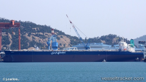
Vessel Maharah IMO: 9779812, MMSI: 403532000 Crude Oil Tanker
UTC, 28.61724, -94.67870, course: 219, speed: 0
UTC, 28.61741, -94.67896, course: 212, speed: 0
2026-01-16 16:33:37 UTC, 28.61742, -94.67887, course: 211, speed: 0.1
Live AIS position:
UTC. 37 nm SE of Quintana),
updated 2026-01-16 16:33:37 UTC.
Find the position of the vessel Maharah on the map. The latter are known coordinates and path.
marine traffic ship tracker show on live map
The current position of vessel Maharah is 28.61742 lat / -94.67887 lng. Updated: 2026-01-16 16:33:37 UTCDetails:
Last coordinates of the vessel:
UTC, 28.61745, -94.67888, course: 209, speed: 0UTC, 28.61724, -94.67870, course: 219, speed: 0
UTC, 28.61741, -94.67896, course: 212, speed: 0
2026-01-16 16:33:37 UTC, 28.61742, -94.67887, course: 211, speed: 0.1