 vesseltracker.com
Live AIS position:
54.47218° N, 175.51309° W UTC. 121 nm W of Burnopfield),
updated 2025-11-22 04:03:15 UTC.
Find the position of the vessel First Sky on the map. The latter are known coordinates and path.
marine traffic ship tracker show on live map
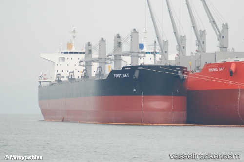
The current position of vessel First Sky is 54.47218 lat / -175.51309 lng. Updated: 2025-11-22 04:03:15 UTCCurrently sailing under the flag of Panama
Details:
Last coordinates of the vessel:
UTC, 54.47472, -176.42839, course: 93, speed: 11.7UTC, 54.47324, -176.36333, course: 92, speed: 11.8
UTC, 54.47348, -176.08037, course: 89, speed: 12.2
2025-11-22 04:03:15 UTC, 54.47218, -175.51309, course: 91, speed: 12.8