 vesseltracker.com
Live AIS position:
33.26711° N, 131.66350° E UTC. Near Oita),
updated 2025-11-21 03:29:02 UTC.
Find the position of the vessel Keum Yang 2 on the map. The latter are known coordinates and path.
marine traffic ship tracker show on live map
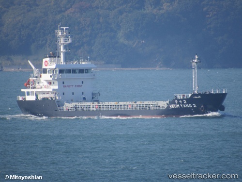
The current position of vessel Keum Yang 2 is 33.26711 lat / 131.66350 lng. Updated: 2025-11-21 03:29:02 UTCCurrently sailing under the flag of Korea
Details:
Last coordinates of the vessel:
UTC, 33.26714, 131.66350, course: 342, speed: 0UTC, 33.26709, 131.66357, course: 342, speed: 0
UTC, 33.26713, 131.66353, course: 342, speed: 0
2025-11-21 03:29:02 UTC, 33.26711, 131.66350, course: 341, speed: 0